Anyone who’s searched for recorded land-document images knows that more land-document images aren’t always better. Its quality, speed and ease of document image retrieval that really sets the experience apart. With DataTrace’s unique indexing system and intuitive data platform, locating and obtaining real estate documents online is easier and faster than ever before.
In just seconds, you can search, view and examine billions of official land documents - exactly as they were recorded - in crisp digital quality, right from your desktop or browser portal.
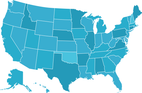
Our repository of current and historic land-record images and online real estate documents totals more than 8 billion, making it the industry’s most comprehensive repository. Images are available from all DataTrace title plant and tax information counties, so you can go online and gather all the real estate documents you need to complete your title search quickly, including:
MORE IMAGES, MORE OFTEN
DataTrace scans, indexes and posts more than 2.6 million recorded land document images per month.
Need to clarify or resolve an easement, land use or right-of-way issue? DataTrace lets you quickly retrieve plat maps that link to a parcel ID number or specific street address. Faster access to all types of recorded land-image documents means easier research, and speedier, more efficient production.
Unlike other companies, DataTrace integrates numerous online real estate document types into one convenient platform, providing a single-source solution that helps you reduce costs, increase productivity and complete more title searches, faster.
Gather real-estate document images in seconds, directly from your title chain. DataTrace’s built-in productivity tools enable you to view, annotate, zoom and print recorded land document images right from within the application - all with unprecedented ease and accuracy. Complete the search at hand and move on quickly to the next.
Client Support: 800.221.2056
Monday-Sunday: 5:00 am - 9:00 pm PST
Email: Customersuccess@datatracetitle.com
Address: 30005 Ladyface Court, Suite 200
Agoura Hills, CA 91301
Visit our Contact Us page for more options.
© Data Trace Information Services LLC. All rights reserved.
Data Trace Information Services LLC makes no expressed or implied warranty respecting the information presented and assumes no responsibility for errors or omissions.


DataTrace Accessibility Statement
Data Trace Information Services LLC and its affiliates, are committed to making our website's content accessible and user friendly to everyone. If you are having difficulty viewing or navigating the content on this website, or notice any content, feature, or functionality that you believe is not fully accessible to people with disabilities, please call our Customer Service team at 866-718-0097 or email our team at accessibility@datatracetitle.com and provide a description of the specific feature you feel is not fully accessible or a suggestion for improvement. We take your feedback seriously and will consider it as we evaluate ways to accommodate all of our customers and our overall accessibility policies. Additionally, while we do not control such vendors, we strongly encourage vendors of third-party digital content to provide content that is accessible and user friendly.
 Geographic Coverage